
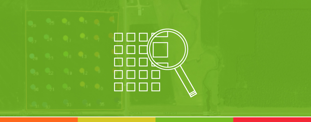
Identifying the Right Grid Size for Your Farm
Identifying the Right Grid Size for Your Farm If you’re looking to get started soil sampling with a grid plan, you’re likely asking yourself what size of grids do I need to use? The true answer is that there is
What Is the Formula Library?
What Is the Formula Library?Creating fertilizer prescriptions is made easy using VRAFY in John Deere Operations Center. When you are viewing your soil test results you can click on the “Create Formula Rx” text to get started creating your own
On-Farm Experience: Garret from Nebraska
EQUIPMENT: Case IH 7230 combine with John Deere fertilizer applicators hired through the local co-op. I started using VRAFY last year. Signup was a very simple process. I just went in and added my harvest data into Operations Center, and
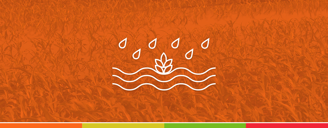
Using Satellite Imagery to Assess Irrigation Efficiency
Satellite imagery can be a useful tool for making agronomic observations related to irrigation during the growing season. Crops will show vegetative differences which are seen in satellite imagery layers due to localized growing conditions within the field influenced by
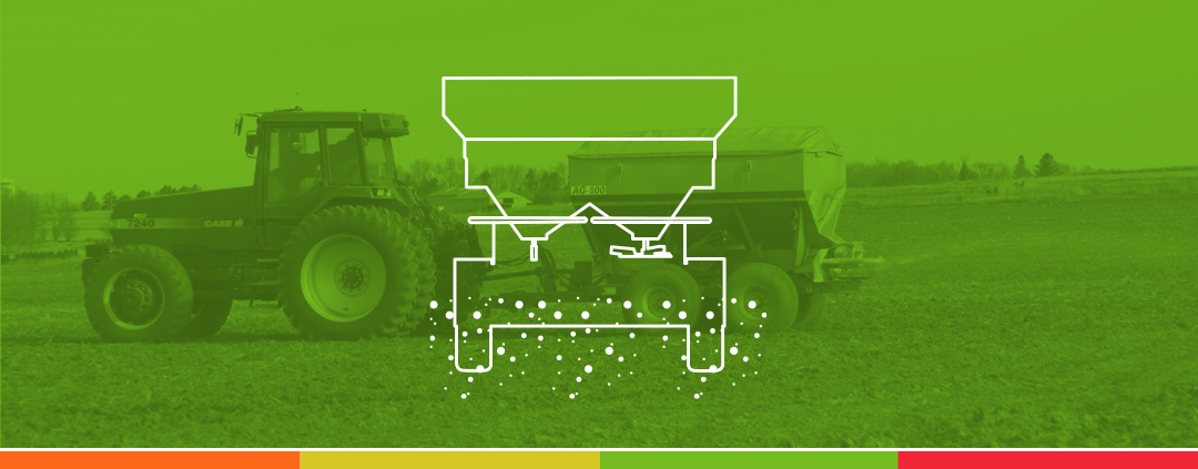
On-Farm Experience: Lance from New York
EQUIPMENT: John Deere X9 combine with John Deere 445 tribox spreader, and John Deere 612R and Hagie ST12 sprayers for liquid applications. We’ve had VRAFY for a bit over a year. Last fall, we used it as the combine went

Highlighting VRAFY Plus Formulas
Why is VRAFY Plus worth the “added” dollar? There are many answers to how you could level up your fields. To put it simply, the valuable analysis, customizable formulas, and freedom to build your own prescriptions in Ops Center will

On-Farm Experience: Luke from Arkansas
EQUIPMENT: John Deere S780 combine, with a John Deere 800R application system configured with a 4600 series monitor. We demoed VRAFY on 612 acres of corn. After seeing how efficient it was for us time wise to take our soil

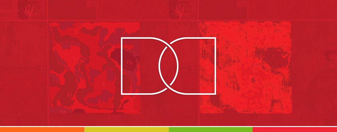
Composite vs. GPS Soil Sampling
Composite vs. GPS Soil Sampling Soil sampling provides essential data for making informed decisions regarding soil health and nutrient management. Two common methods used are GPS grid soil sampling and composite soil sampling. While both
Crop Removal vs. Flat Rate – Pros and Cons
When it comes to farming, there are pros & cons to everything you do in your operation. It is important that you run trials and learn from previous experiences to understand what works best for you. Deciding how you want
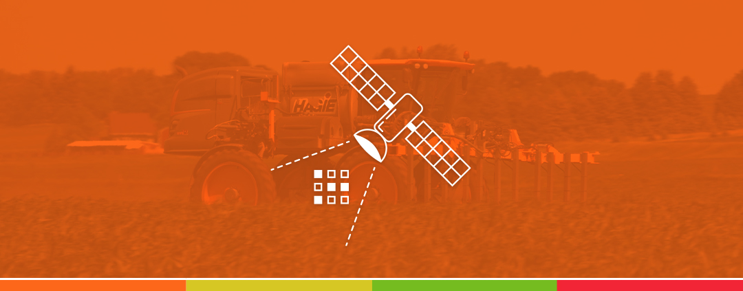
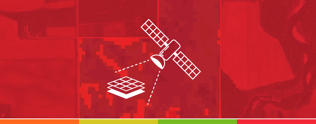
Create Variable Rate Prescriptions Using Satellite Imagery
Use in-season data from your fields to create variable rate maps in ‘almost’ real-time. Satellite imagery maps can show recent vegetative maps of your fields, highlighting areas with higher and lower plant health. VRAFY brings this information to you on
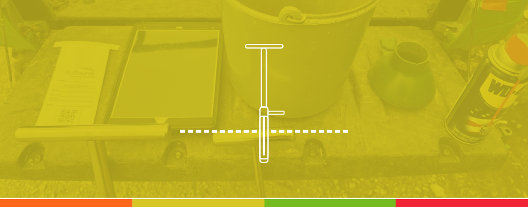
DIY Soil Sampling
Soil sampling is an essential practice for all farmers. It provides valuable insights into the health and needs of your soil, helping you make informed decisions that can lead to better crop yields and more efficient use of fertilizers. Here’s
How To View Data Side by Side in John Deere Operations Center
One of the benefits of having your data in the Operations Center is that it becomes easier to view the layers side by side. This allows you to see how the decisions you made throughout the year impacted the results

Nitrogen Management in a Wet Year
Southeast, South Dakota, along with the majority of the Midwest region of the United States, has seen substantial amounts of rain the past couple of weeks. Crop health, flooding issues, and fertility are a few of the things to worry
Using Satellite Imagery To Measure Damaged Crop Areas
With much of the upper Midwest receiving excess rainfall in June and early July, a few customers have asked us to help them use imagery to identify and measure the area affected by this water damage. Following the steps below,

Come See Us at the Ag PhD Field Day!
We will be attending the Ag PhD Field Day in Baltic, SD, on July 25, 2024! You can meet the team behind VRAFY and ask your questions face-to-face. You can also see live product demos of the new features and

July 2024 Updates
You might have noticed our updated pricing and the enhanced features at each level. We've made some exciting changes, such as the ability to collect soil samples and view soil test results in the $1 VRAFY Basic level. We've also

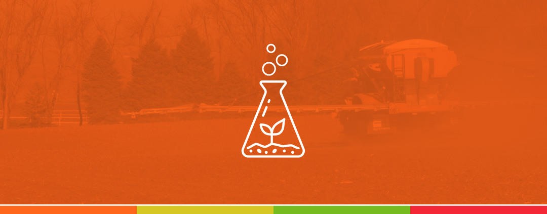
Optimizing Phosphorus Management
As farmers navigate the challenges of tighter margins, efficient fertilizer management has become more crucial than ever. When growing corn and soybeans, phosphorus costs can significantly impact your bottom line. Let’s explore how to make every dollar count. Crop

Scouting Using Soil Data
Do you have spots in your fields that historically yield low? Taking soil samples and properly interpreting the data can benefit you drastically. When it comes to soil sampling the number one thing you want to do is get your