by bburgeson
Share

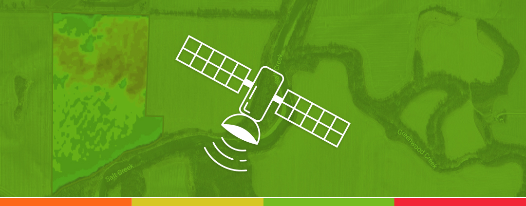
Are you trying to figure out where your crop production acres are struggling? Satellite imagery might be the answer you are looking for. With satellite imagery, you can narrow down the areas where crop health is lower than your better areas. Satellite imagery goes hand in hand with variable rate fertility programs because you can sample those lower-yielding areas based on your satellite images and see if there is a fertility issue. Yield data also plays part in satellite imagery because there will be similar results regarding low-yield areas and low NDVI ratings.
Normalized difference vegetation index (NDVI) is used in precision agriculture to identify crop health, such as biomass, fertility, vigor, etc. NDVI uses near-infrared and visible red reflectance captured by sensors on Landsat satellite imagery. These images are useful because you can compare them throughout the growing season.
Satamap Vegetation Index (SVI) is similar to NDVI as it uses near-infrared and visible red reflectance. The scoring for SVI ranges on a 0-1 scale. Zero represents the least vulnerable (healthy area of your field). One represents the most vulnerable (unhealthy area of your field). It benefits you as a farmer because it represents variability to the acre so you can get an accurate representation of growth and biomass in your fields.
Canopy chlorophyll content (CCC) uses satellite remote sensing technology to evaluate the chlorophyll content in crops. CCC will benefit you because it can help detect deficiencies, crop growth and health, and disease pressure. VRAFY has plenty of options that give great comparisons to fertility, yield monitor data, etc.
Here at VRAFY, we are dedicated to giving you the opportunity to raise the best crop you can. With our satellite imagery data, you can compare different images created through NDVI, SVI, and CCC. These three, along with other satellite imagery options will allow you to see how your crop is going throughout the season. When comparing the data, you can make agronomic decisions that will lead to a healthier crop. Consult with your local VRAFY dealer today to learn about the benefits that satellite imagery can give to you and your farm.

