EQUIPMENT: Case IH 7230 combine with John Deere fertilizer applicators hired through the local co-op. I started using VRAFY last year. Signup was a very simple process. I just went in and added my harvest data into Operations Center, and granted the needed permissions. Originally, I signed up just one 160-acre field. Then, I worked […]
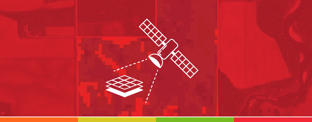
Satellite imagery can be a useful tool for making agronomic observations related to irrigation during the growing season. Crops will show vegetative differences which are seen in satellite imagery layers due to localized growing conditions within the field influenced by irrigation. The variability in vegetation can sometimes be hard to observe and monitor consistently in […]

EQUIPMENT: John Deere X9 combine with John Deere 445 tribox spreader, and John Deere 612R and Hagie ST12 sprayers for liquid applications. We’ve had VRAFY for a bit over a year. Last fall, we used it as the combine went over the field, then used VRAFY to do soil sampling in one-acre grids and have […]

Why is VRAFY Plus worth the “added” dollar? There are many answers to how you could level up your fields. To put it simply, the valuable analysis, customizable formulas, and freedom to build your own prescriptions in Ops Center will help you increase your farm’s ROI. When running variable rate fertilizer and building your soil, […]

EQUIPMENT: John Deere S780 combine, with a John Deere 800R application system configured with a 4600 series monitor. We demoed VRAFY on 612 acres of corn. After seeing how efficient it was for us time wise to take our soil maps and generate prescriptions for fertility, we decided to enroll the entire farm, including all […]
When it comes to farming, there are pros & cons to everything you do in your operation. It is important that you run trials and learn from previous experiences to understand what works best for you. Deciding how you want to deal with your fertility management is a big step heading into the next season […]
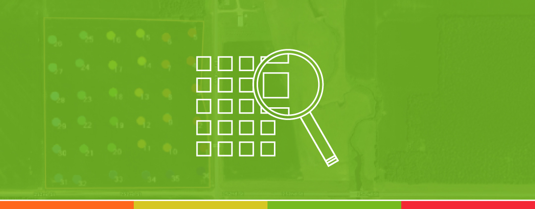
Use in-season data from your fields to create variable rate maps in ‘almost’ real-time. Satellite imagery maps can show recent vegetative maps of your fields, highlighting areas with higher and lower plant health. VRAFY brings this information to you on Operations Center Web and Mobile. What you do with this information is up to you. […]